
29 Oct 2026
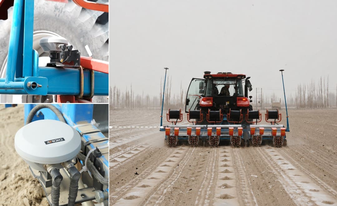
A tractor can follow its guidance line to within a few centimeters and still leave crooked rows behind it. Anyone who has planted across a side slope has probably seen it: the cab display shows the tractor on the line, while the planter behind it has quietly moved downhill.
The steering system is doing its job. It is simply measuring the wrong machine.
Auto-steering controls the position of the tractor, but the work in the soil is done by the implement. On flat, firm ground the two travel together closely enough that the difference does not matter. On slopes, uneven or sandy ground, or with certain hitch setups, they part company. This is the problem implement guidance exists to solve.
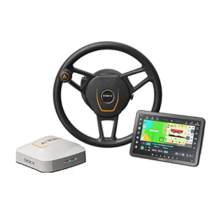
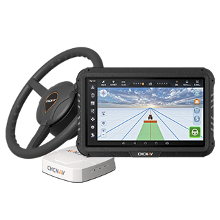
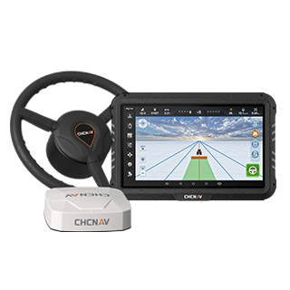
In a typical auto-steering setup, the GNSS antenna sits on the cab roof, and the system corrects that reading for tractor tilt and steers the tractor along the planned line. Our explainer on how GPS auto-guidance steers a tractor covers the mechanics.
For driving, the tractor is the right reference. For the crop, it is not. Seed openers and cultivator tines sit several meters behind the rear axle, joined by a hitch that allows some movement. Anything that pushes the implement sideways shows up in the soil, but not on the steering display, because the tractor itself has not left the line.
Implement drift is rarely one large error. It is usually several small forces acting in the same direction:
Each effect may be only a few centimeters, but because they are steady rather than random, they do not cancel out.
On a cross slope, gravity works on the implement continuously, and the steeper the ground, the stronger the pull. Terrain compensation in the steering system corrects for the lean of the tractor, but the implement is a separate body and settles wherever the slope and the hitch let it.
Real fields are rarely one even slope, so the offset changes along a pass. A fixed offset entered at the headland may be right for one stretch and wrong for the next, and that variation turns drift into a row spacing problem.
Within a single pass, row spacing is fixed by the toolbar. The uneven spacing appears at the junction between passes, the rows farmers often call guess rows.
If one pass runs 5 cm downhill of plan and the pass above it runs on plan, the junction row between them is 5 cm wider than intended. Where the offsets fall the other way, the junction row is squeezed. Narrow junction rows crowd plants; wide ones leave ground unused and give weeds room.
The effect continues after planting. Inter-row cultivation, spraying and harvesting assume the rows are where the plan says, and when they are not, later passes risk running over the crop.
Across a whole field, junction errors become overlaps and skips. An overlap means seed, fertilizer or tillage applied twice to the same strip. A skip means ground that was prepared and then left without a crop. Neither looks dramatic on one pass, but every pass across a sloped field repeats them.
That is why implement accuracy is measured in field utilization as much as in centimeters: how much of each hectare ends up carrying a correctly spaced crop depends on where the implement traveled, not where the tractor did.
A steering system corrects what it measures. If its only antenna is on the tractor, it sees the tractor on the line and has nothing to correct. Better correction services or a newer steering system make the tractor more precise, but they do not tell the system where the implement is.
Operators have long worked around this with a fixed offset, a little uphill steering by feel, or tighter sway control on the linkage. These can help, but none measures the implement, and none responds when the slope or soil changes partway along a pass.
Implement guidance closes that gap by putting a positioning receiver on the implement itself, comparing where the implement is with where the plan says it should be, and correcting the difference as the machine works. Approaches differ in how the correction is applied, often described as passive and active implement guidance, but they share the measurement point: the implement, not just the tractor.
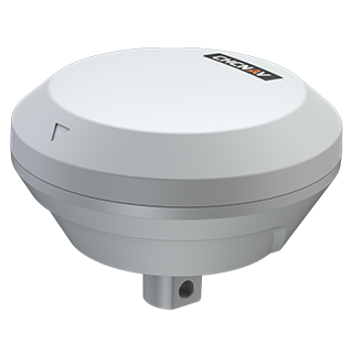
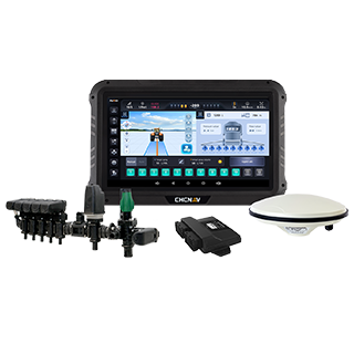
The IS100 implement guidance system was designed by CHC Navigation for mounted equipment that slides on slopes or sandy terrain. Installed at the center of the implement, it combines high-precision GNSS with an internal IMU and terrain compensation algorithms to correct implement deviation in real time. CHC Navigation rates it at up to ±1.5 cm row spacing accuracy, with the aim of reducing the overlaps and skips described above.
In day-to-day use:
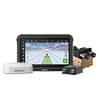
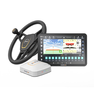
The IS100 works with the NX600 series of auto-steering systems, the NX610 and the NX612. It is enabled through the Implement Guidance function in the AG5.0 software, with no additional software needed.
Not every farm needs it. On flat, firm ground with a well-maintained linkage, tractor guidance alone may keep the implement close enough. It is worth a closer look when one or more of these apply:
If you are still weighing up automated steering itself, our article on whether a tractor auto-steering system is worth the investment is the place to start.
Precise tractor guidance remains the foundation of precision agriculture. But the crop does not grow where the tractor drove. It grows where the implement placed it.
When the tractor is on the line and the rows still are not, the tractor is not the problem. Keeping the implement on the intended path is the other half of the equation.
CHC Navigation (CHCNAV) develops advanced mapping, navigation, and positioning solutions designed to increase productivity and efficiency. Serving industries such as geospatial, agriculture, machine control and autonomy, CHCNAV delivers innovative technologies that empower professionals and drive industry advancement. With a global presence spanning over 140 countries and a team of more than 2,200 professionals, CHC Navigation is recognized as a leader in the geospatial industry and beyond. For more information about CHC Navigation [300627.SZ], please visit: https://agriculture.chcnav.com/about/overview
Seeing drift on sloped or sandy fields?