Common Searches
Your Recent Searches
Quick Links
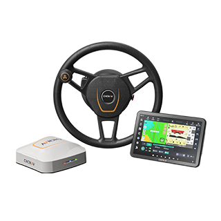
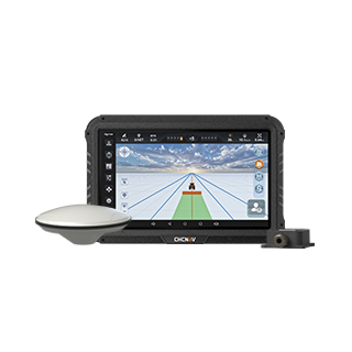
- NX612
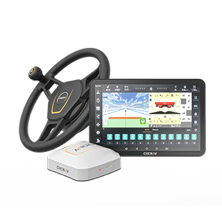
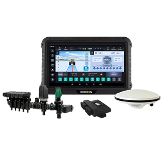
- NX610
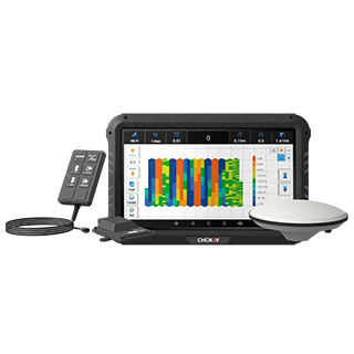
- HG100
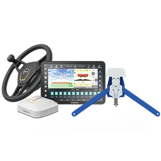
- IC100
- SprayX100
Search Term
Information Sources
- All Type
-
Products -
News -
Event
PRODUCTS
NEWS
EVENT
Select a Region or Language
Region
Global


.jpg)